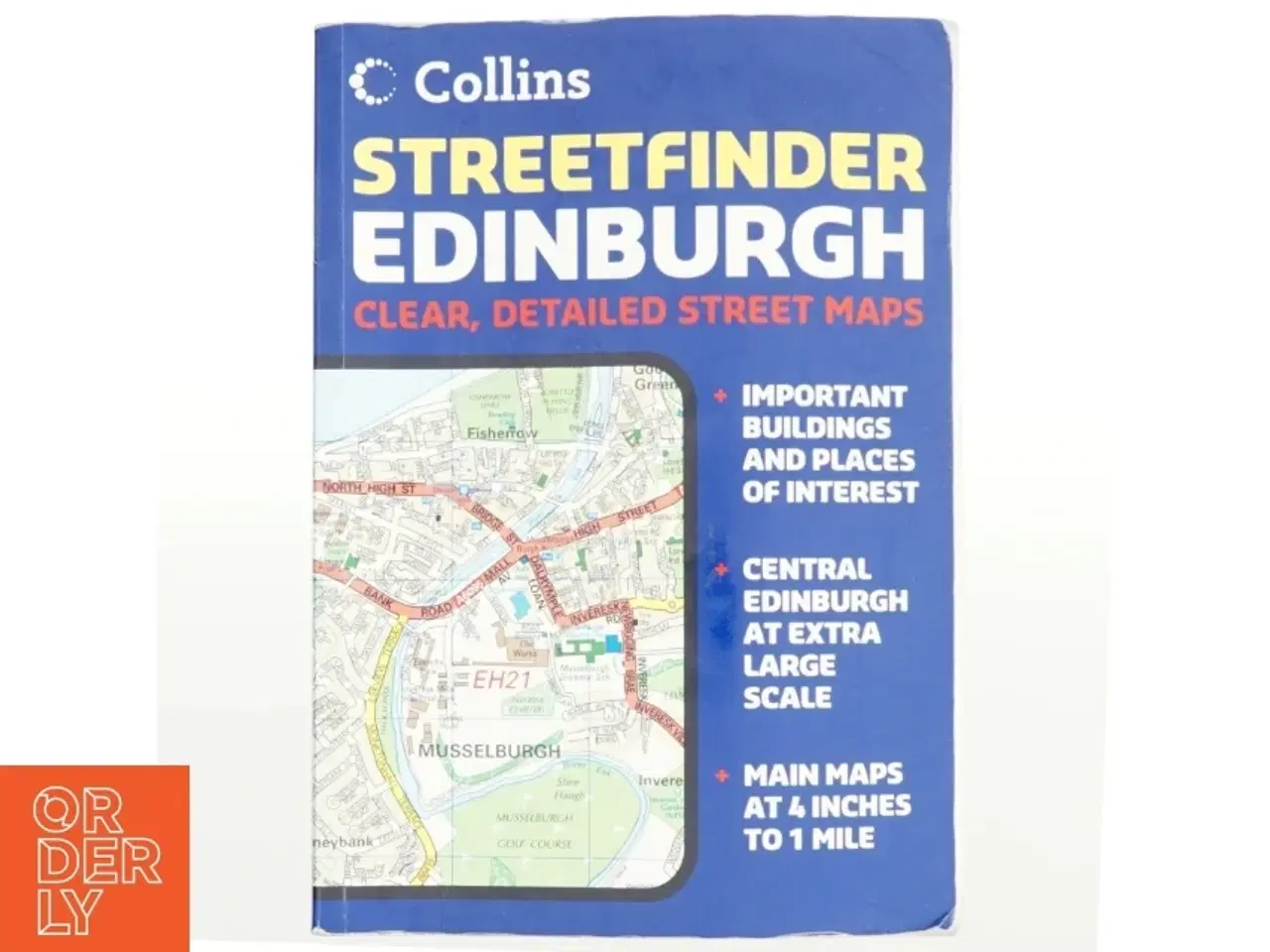
Edinburgh Streetfinder af Collins Bartholomew Ltd, HarperCollins (Firm) (Bog)
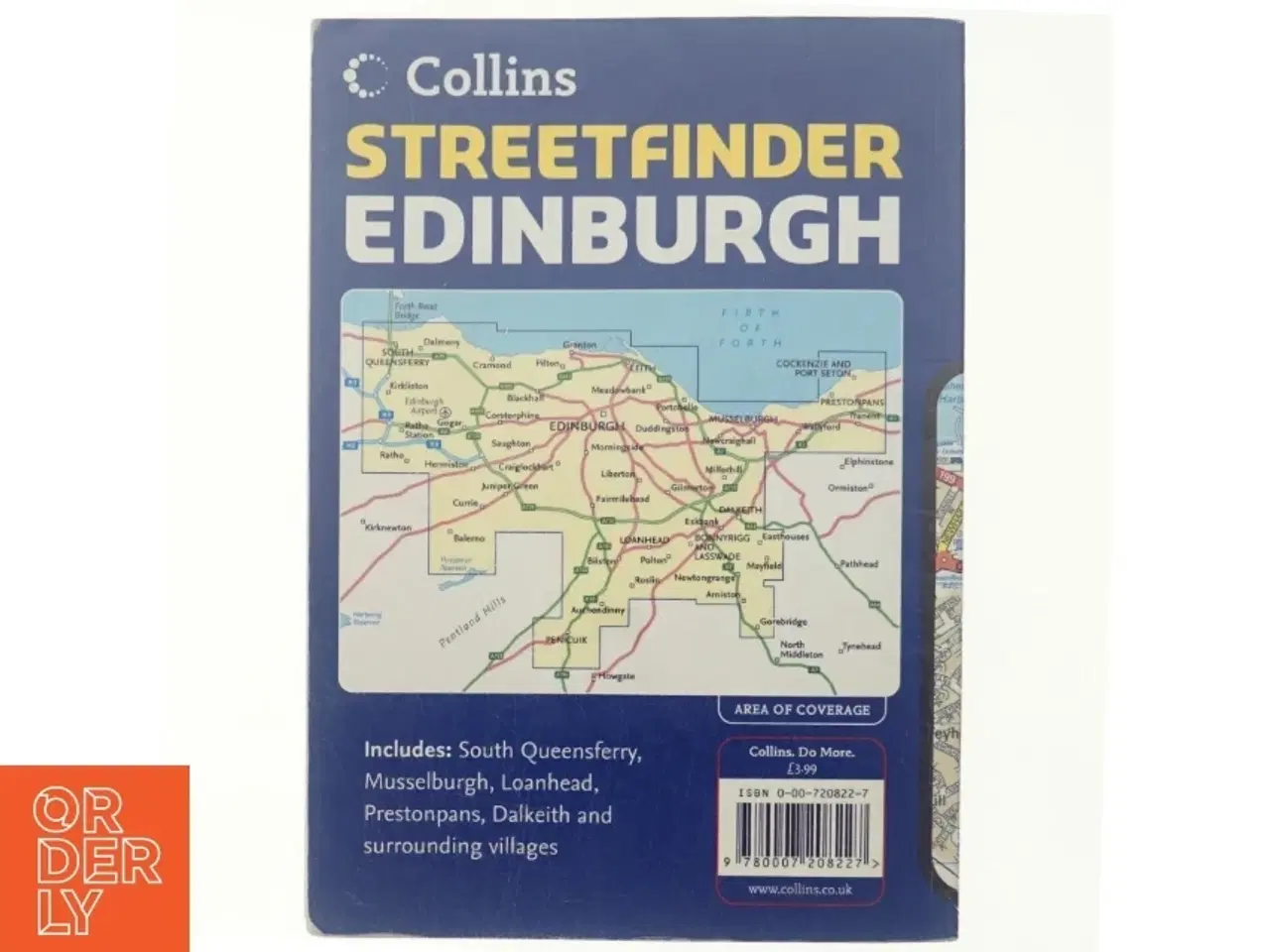
Clear, Detailed Street Maps With a scale of 4 inches to 1 mile, this handy full-color atlas with street level detail covers a large area of Edinburgh. Roads are color-classified and land use color-coded to aid clarity. The main features of this book are an enlarged central area; a clear full color street map; 4 pages of route planning maps at 4 miles to 1 inch; and a full index to street names and places. It also includes motorways, classified roads, and street networks; land use color-coded for ease of use; main railway lines and stations; and car parks. The area of coverage extends from Queensferry in the west to include Tranent in the east and from the Firth of Forth in the north to Penicuik in the south. Its wealth of detail, handy format, and large area of coverage make this atlas an essential purchase for resident, business user, and visitor. Forlag: HarperCollins UK Udgivelsesår: 2006 Sprog: Engelsk Klik på 'Se annoncen hos forhandleren' for at se varen i vores webshop Brand: Ukendt Farve: Ukendt Stand: 60 - Vi sender til hele landet for 45 kr. Leveringstiden er 1-3 hverdage. Du kan også gratis hente den på vores lager på Industrivej 10 i Slangerup. Er du i tvivl om varen stadig er til salg? Klik på knappen "Se annoncen hos forhandleren" for at se den i vores webshop. Kan du se den der, er den stadig til salg Orderly er en ny måde at købe brugt på. Vi har alle vores sælgeres ting på vores centrale lager. Derfor kan du være helt sikker på at få dine ting - og du kan samle flere ting på tværs af sælgere og kun betale én gang fragt.


